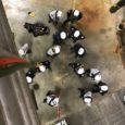
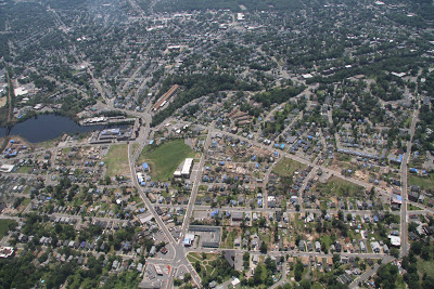
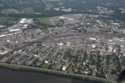
Last week, members of MA-TF 1 had the opportunity to fly over the path of the Tornado for photographic documentation. This was done in conjunction with FEMA Region 1 and the New Hampshire Civil Air Patrol. The flight traveled from East to West (in the opposite direction of the Tornado’s progression). The aircraft was located north of the path, so most photos are taken facing south.
From Tornado Overflight
The first mission that MA-TF 1 undertook on the night of June 1 was to search for survivors and document structural damage in the Six Corners area of Springfield, MA. This is the triangular area in the photo below :
The second mission MA-TF 1 undertook was to search for survivors and document structural damage in the Union St. area of West Springfield, MA. This is the area below the rail yard in the photo below:
From Tornado Overflight
